Commencement of Snowfall in Elevated Regions
 Admin
Admin
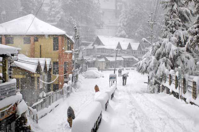
Srinagar, Nov 10: As temperatures continued to decline across Jammu and Kashmir, reports of light snowfall in elevated regions surfaced from various areas of Kashmir. Notably, places like Gulmarg, Gurez, Tangdhar, and Keran experienced light snowfall on Thursday evening. The Meteorological Department had forecasted precipitation, predicting rains in the plains and snow in the higher reaches of Jammu and Kashmir during the same period.
Meteorological officials attributed the weather changes to an active Western Disturbance, expecting rain and snowfall from Thursday to Friday. The precipitation was anticipated to initiate in higher elevations on Thursday afternoon, gradually extending to the plains by the evening. In light of the weather forecast, farmers were advised to suspend agricultural activities for three days.
Until Thursday afternoon, the weather in Jammu and Kashmir had been mostly dry, with partially overcast skies in Kashmir. The Meteorological Department’s forecast for November 9 indicated generally cloudy weather with light rain in the plains and light snowfall in higher reaches such as Razdan Pass, Sadhna Pass, Sinthan Pass, Zojila, and Mughal Road.
Mukhar Ahmad, the Director of the Meteorological Department’s Srinagar center, shared updates on social media, stating, “Generally cloudy weather with a spell of light rain over many places and light snow over higher reaches is expected.” The recent precipitation led to a decrease in temperatures across Jammu and Kashmir.